
Dubuque Neighbors by Block
Block research begins with geography, not a list of names. The Dubuque County parcel service can show adjacent polygons, ownership fields, situs addresses, deed references, tax data, ZIP codes, and stable parcel identifiers. City GIS adds streets, buildings, city service areas, historic context, and land-use layers. Permit reports and council records attach dated public activity to an address. Neighborhood associations add civic contacts, but not member rosters. Each source describes a different layer of the block.
| Source | What It Shows About a Block | Access |
|---|---|---|
| County GIS parcels | Adjacent polygons, PIN, owner, situs, legal, deed, tax and ZIP fields | Public map and REST query; general-index disclaimer |
| Beacon tax roll | Titled owner, mailing and situs addresses, value and homestead flag | Public linked portal; owner is not always an occupant |
| City permits | Dated work, applicant, owner, parcel, business and project details | Monthly archive; older or full files by request |
| Neighborhood groups | Association contact, meetings, events and civic area | City roster and interest form; no member directory |
| Voter records | Known registration match or permitted list fields | Named lookup or restricted-purpose request |
| Historical directories | Prior householder or occupant entries by address and year | Digitized 1856–1991 images; verify OCR |
A tax owner may be an estate, trust, company, or person whose mail goes elsewhere. Homestead is a tax flag, not conclusive proof of current occupancy. Historical directories describe an earlier snapshot. A voter match confirms only the named registration in its election context. To understand nearby places without overstating who lives there, keep all those roles and dates intact.
Map Dubuque Neighbor Parcels
The Dubuque County Land Records service supports spatial queries and parcel geometry. Locate the target parcel, then retain a map scale that shows neighboring polygons and road labels. Click each adjoining or facing parcel. Save its PIN, FullSitus, OwnerName, PostalCode, and legal or deed reference as a separate record. The exact public map labels may vary, so describe the action rather than claiming an unverified button or buffer tool.
- Resolve the target address to one parcel and copy its PIN and FullSitus value.
- Keep the road labels and parcel boundaries visible, then select the lots that touch or face it.
- Record each neighboring PIN, owner field, situs, ZIP, legal reference, tax year, and source date separately.
- Compare the city-limit layer before calling a postal Dubuque address a city parcel.
- Use the Dubuque street directory when the question expands from one block to the entire named street.
This flow produces a reproducible block map, not a household roster. A query by extent may return far more than one block, and the service has a maximum record count. Narrow by visible map extent, parcel range, street segment, or project date.
Read Dubuque Neighbor Records
County parcel layers expose fields for owner, mailing lines, physical address, legal description, deed references, assessed values, property class, homestead, acreage, ZIP, and tax year. These fields are valuable because they preserve the role and time of the public record. They also invite bad shortcuts. A mailing address is where tax notices go. A situs address is the parcel location. Neither proves that the named owner sleeps there today.
- PIN
- A parcel identification number used to keep one mapped tax parcel distinct from nearby lots.
- Situs
- The physical property address, which may differ from a tax mailing address.
- Legal description
- The lot, block, subdivision, or metes-and-bounds wording used in title records.
- Homestead
- A tax-related flag that may support an owner-occupancy lead but is not a current household list.
If the owner field shows an estate, trust, company, or several parties, preserve that wording. Follow the deed reference to the Recorder when ownership needs confirmation. Do not replace a blank physical address with the tax-mail address or infer a person from a business name.
Dubuque Neighborhood Contacts
The city's current Neighborhood Support roster identifies associations, meeting patterns, and public contacts. It also offers an interest form, a toolkit, a neighborhood map, help starting a group, and a support grant of up to $2,500. These are civic access points. They are not directories of residents or proof that every address within a named area belongs to an active association.
Bluff Street
Meets monthly on the third Thursday at Cathedral of St. Raphael Fellowship Hall. Public contact: Deane Grace.
Langworthy
Meets quarterly on the third Tuesday at Lincoln Elementary. Public contact: Cory Ruzicka.
North End
Meets monthly on the first Wednesday at the Comiskey Park Building. Public contact: Chuck Harris.
Point
Meets monthly on the first Tuesday at Holy Trinity Catholic Church. Public contact: Sandi Plumley.
The roster also names Downtown, Fenelon-Hill, Tomahawk Neighbors, and Valley View groups, each with an events or contact route. Confirm current meeting details on the city page before attending.
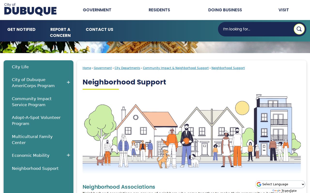
The captured roster is useful for civic questions, event contact, and local history leads. It should never be republished as a list of neighbors or association members.
Historic Areas Around Dubuque Neighbors
Dubuque identifies nine conservation districts: Fourth Street, Fenelon Place, Third Street, Washington Street, Jackson Park, West 11th Street, Broadway Street, Downtown, and Brewery. Historic surveys also cover central Avenue, Washington, Jackson, Elm, Rhomberg, Eagle Point, Linwood, and other areas. These boundaries can explain why one parcel has historic-review, permit, survey, or council records that the next block lacks.
A 2013 neighborhood map labels additional areas, including Broadway Extended, Grandview, Hilltop/Ivy League, Historic Bluffs, South Grandview/Bradley, and Washington Neighbors. Treat that map as historical geography and check current association activity against the live support roster. A conservation district, association area, postal ZIP, ward, and parcel line serve different purposes and should not be merged.
The Dubuque County Historical Society collections add photographs, family and business papers, contracts, correspondence, and blueprints for neighborhood context.

Its River Library and Archives holds about 4,400 linear feet of material and works by appointment or research request, with a possible hourly charge for deeper work.
Dubuque Neighbors and Voter Data
Iowa's free voter lookup requires first name, last name, ZIP, house number, and full birth date. It checks a known voter and returns registration or polling information. It does not display everyone on a block. A full list or profile request is a separate process with jurisdiction, status, party, participation, format, fee, and delivery choices.
Iowa Code §48A.34 makes voter registration information public while withholding Social Security numbers, driver or non-operator ID numbers, and registration-agency data. Sections 48A.38 and 48A.39 restrict full-file use. Requests must fit a genuine political, research, or official purpose recognized by law. Protected Safe at Home participants use confidential voter registration and a substitute address, so no public block search should try to identify them.
Voter lookup myth. The state form checks a known name and address; it does not create a list of Dubuque neighbors.
Dubuque Blocks and Courthouse Records
The 1891 Dubuque County Courthouse replaced an 1839 building and still concentrates the Recorder, Auditor, Treasurer, and court access trail near the city's older blocks. That continuity does not mean every old record is online. State Historical Society microfilm and catalog series reach into territorial-era deeds and nineteenth-century probate. A modern parcel miss or docket miss may call for a dated archive or counter request, not a claim that no record exists.
For a nearby property or civic question, switch custodians as the record changes. The Recorder holds the deed trail. The Clerk handles case and probate files. The City Clerk and departments keep proceedings, permits, and project records. The Center for Dubuque History and historical society add maps, directories, newspapers, and private collections that explain the block without identifying today's neighbors.
Track Dubuque Neighbor Projects
City permit reports are dated address indexes for nearby construction, demolition, solar, signs, plumbing, and other work. A row may show permit number, issue date, address, applicant, owner, business name, construction value, description, square footage, permit fee, and parcel number. Applicant and owner are separate roles, and neither field alone identifies the household.
The Dubuque Monthly Permit Reports archive lists current reports and archive categories.
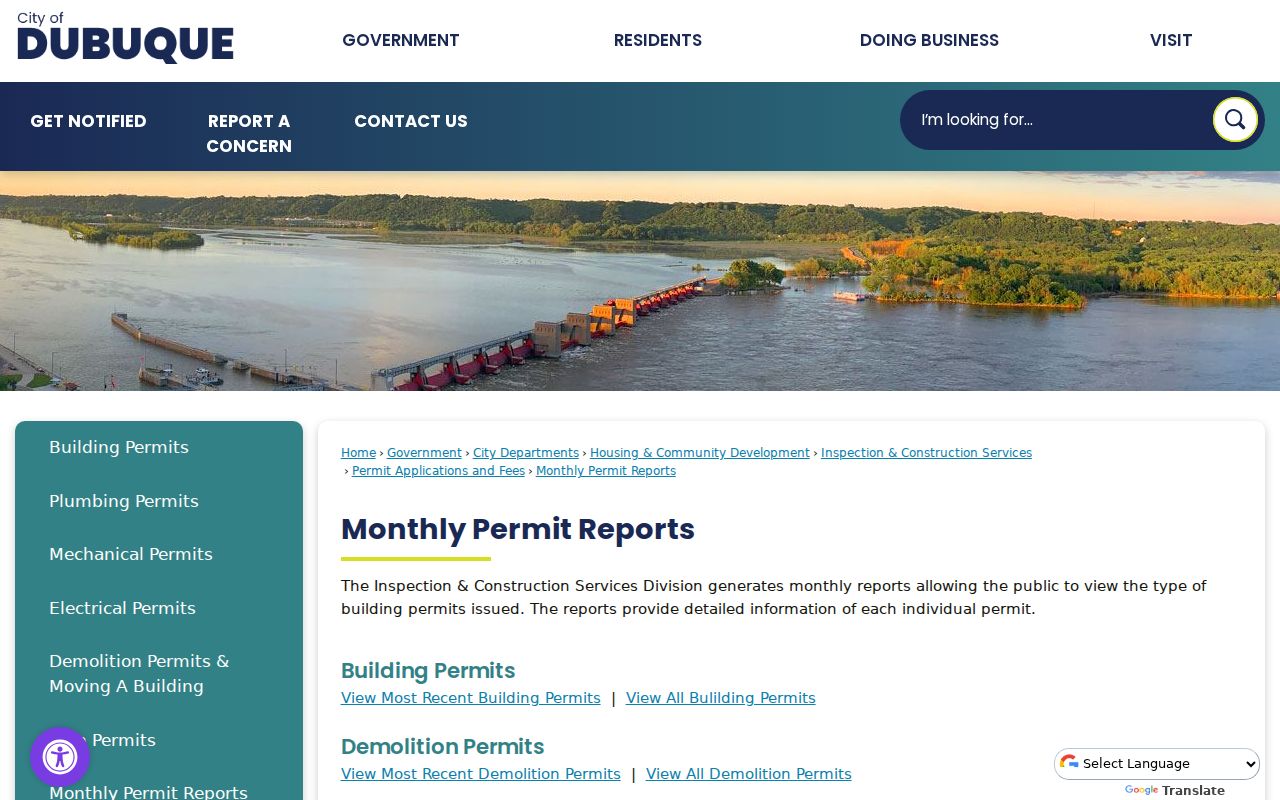
The report can date visible change on the block. For plans, inspections, status, or an older file, request the specific permit number from Inspection and Construction Services or the proper city custodian.
Compare Dubuque Neighbor Records
Official records are narrower than commercial neighbor tools, but their scope and keeper can be cited. Commercial services may blend old addresses, marketing files, public records, and inferred relationships. Shared names and stale data can merge different people. They also may hide source dates or charge for material that a custodian makes available directly.
| Source type | Strength | Main limit |
|---|---|---|
| County GIS or assessor | Parcel geometry, titled owner and tax fields | Not a full occupant list |
| City permit or council record | Dated public activity tied to an address | Names appear in specific record roles |
| Neighborhood association | Current civic contact and events | No public member roster |
| Commercial category | May collect broad leads | Source, date, accuracy and suppression vary |
Use the custodian's correction route when an official field is wrong. A private opt-out can suppress a broker entry, but it does not alter a deed, tax roll, docket, archive image, or city report.
Confirm a Dubuque Neighbor Map
Save enough detail for another person to repeat the map check: the visible extent, street labels, access date, layer name, filter or query, and returned PINs. Compare the selected parcel with the City Limits layer before assigning city jurisdiction. A ZIP or “Dubuque” mailing city can include addresses outside the incorporated city.
When a city project, petition, or complaint is the real question, narrow the search by street segment, parcel range, project date, permit number, or named council item. City proceedings are searchable from 1908, with agendas and attachments from 2000. A targeted Iowa Chapter 22 request may retrieve a releasable file when the archive row is not enough. The office need not create a new block report that does not exist.
Privacy for Dubuque Neighbors
An adjacent parcel record has map geometry and a tax owner, not a list of everyone who lives there. Utility customers, delivery addresses, DMV data, protected voter records, juvenile files, medical details, and many investigative records are not open resident directories. Public documents may also contain signatures, legal descriptions, and mailing details that need not be repeated to answer a civic or property question.
Iowa Safe at Home provides qualifying survivors with a substitute address, mail forwarding, and confidential voter services. Never try to infer a participant's real address. If a parcel or permit field appears wrong, ask the Assessor, Recorder, or city custodian about correction and keep the record number and source date. A missing person in public data may be an occupant, a protected resident, or simply outside that record's purpose.
Lawful use. Research Dubuque neighbors only for lawful civic, historical, or personal purposes. Iowa law forbids using records to stalk, harass, threaten, or intimidate anyone.